LiDAR stands for Light Detection and Ranging. It is a relatively old technology introduced in the 1960s. LiDAR technology has become more potent after the arrival of GPS systems on the scene. Here we have discussed essential things about LiDAR technology:
More About Technology
LiDAR is a remote sensing technology that enables you to measure any object’s exact distance on the earth’s surface. It uses an eye-safe laser beam to make a 3D model of the surveyed area. When used with GPS, the LiDAR technology allows you to compute accurate geospatial measurements. LiDAR mapping technology has several applications in diverse fields.
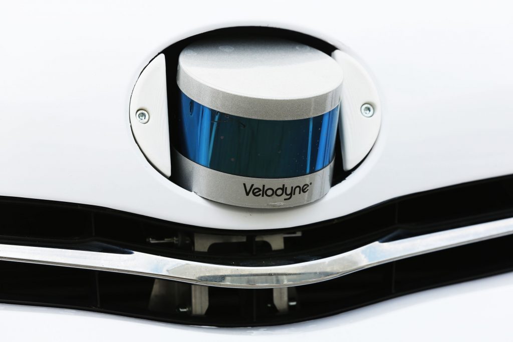
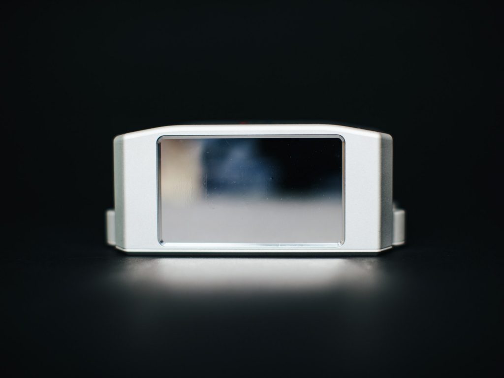
The LiDAR system has three main components that include GPS receiver, laser, and scanner. It also has other elements like optics and a photodetector that perform data collection for the system. Most private and government agencies use helicopters, airplanes, and drones to get LiDAR data.
LiDAR technology’s popularity has risen to an unprecedented level, and the Luminar LiDAR IPO attracted big investors’ attention.
Types of LiDAR systems
LiDAR systems can be categorized into two types- terrestrial LiDAR and airborne LiDAR.
•The terrestrial LiDAR system is installed on a tripod or moving vehicle to gather precise data points. The technology is used to observe highways, collect cloud points from outside and inside the building, and analyze infrastructure. Terrestrial LiDAR can be further categorized into Static LiDAR and Mobile LiDAR.
•The Airborne LiDAR is installed on a drone or a helicopter. When the system is activated, the laser system emits a laser in the ground’s direction, which bounces off the ground to be captured by the receiver. The method gives you an accurate measurement of the object’s distance.
Applications of LiDAR systems
Autonomous Vehicles
LiDAR technology is used in autonomous cars. The Luminar LiDAR IPO was related to autonomous vehicle technology. According to industry experts, the combination of GPS and LiDAR technology allows car companies to build vehicles that don’t need humans behind the steering wheel.
The technology helps autonomous vehicles see cyclists, pedestrians, and other cars on the road. The use of LiDAR technology will start with luxury vehicles. Eventually, the technology will be available to all vehicles manufactured by car companies. The compact and lightweight LiDAR sensors allow the car manufacturer to use this technology without any hindrance; it does not affect the car’s functioning and performance in any way.
The LiDAR technology can successfully measure the distance between the car ahead and give collision alerts if vehicles’ distance falls below a certain threshold. The Adaptive Cruise Control System functionality can be improved by collecting data from LiDAR sensors mounted on the top of the car.
Augmented Reality

Augmented Reality is a relatively new technology that allows you to view virtual content in a way it could have existed in the real world. LiDAR technology is expected to bring more clarity to augmented reality systems. The LiDAR scanner provides superior 3D mapping capabilities. Organizations can stack the 3D model data on a virtual map to create enhanced AR experiences.
Research is being done on the use of Doppler and LiDAR technology together. If the experiments are successful, you could witness better weather forecasting, atmospheric data visualizations, disaster preparations, and aviation safety. Point clouds can improve the AR experience further.
Surveying
LiDAR technology can play a crucial role in surveying tasks. It can be used in urban planning, construction and to examine the topography of the designated area. LiDAR technology is fast in collecting data and creating 3D models than traditional methods of surveying.
It can save a considerable amount of time and money for companies that rely on geospatial data in decision making.
To sum up, LiDAR is a useful technology that makes many tasks safer for us. Considering the diversity of its application, it is expected to revolutionize our lives in different ways in the near future.